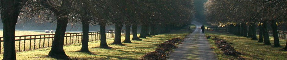

If you’ve walked through County Forest Preserve trails you have some idea of what Northern Illinois looked like before Illinois became a state in 1818. The land was wilderness: woods and grasslands. Native American trails were intended for foot traffic. Travel was on rivers and streams or following migratory herds after farming season was over. Although the Indian population could easily have grown produce for trade, for the most part they grew only what was needed for their own use. One reason for this is that there was no way to move harvested crops. Even rivers and streams were not an option, as much of the year waterways were not navigable; they were flooded in the spring, too shallow to float all except light canoes in summer and fall, and frozen in winter. Native Americans knew this well, and didn’t even try.
People from the East Coast and immigrants from Europe and elsewhere knew the land here was plentiful, and desired to purchase such land to farm and build villages and cities, and of course we all know that eventually this was done. But have you even wondered exactly how the wilderness was turned into today’s civilization? There was much more involved than cutting down trees and building a house and barn.
- A farmer could not grow crops to sell until there was a way to transport the crops to a population who wanted to buy them. No means of transport existed.
- Roads had to be built, and canals had to be dug.
- Arrangements had to be made with Native Americans, who did not understand the concept of individual ownership of land.
- And the land had to be measured into tracts that could be purchased.
The first step was to survey the land. When I was studying this time period to write my novel, The Mystery at Black Partridge Woods, I found surveying fascinating.
ILLINOIS’ SURVEYORS
From Wilderness to Real Estate: Before land could be purchased it had to be converted from uncharted wilderness into tracts of land to be marketed and sold. This was done by creating townships that, depending on who was doing the survey, were either 36 square miles or 25 square miles. Once the township was created, it could be subdivided into any size and configuration an individual wanted.
The Continental Congress had passed the Land Ordinance of 1785 and then the Northwest Ordinance in 1787 to control the survey, sale, and settling of the new lands. Rules were set down governing how the USA would continue forward. The precedent was set that the country could expand westward from the original 13 states, and that states north of the Ohio River would be admitted to the Union as slave-free states. Included in this ordinance were provisions to survey the Northwest Territory.
The Northwest Ordinance of 1787 not only defined rules for dividing and selling the land, but laws for how the land would be governed, including courts, law enforcement, sheriffs, militias, penalties and punishments. This document was drawn on heavily when drafting the Constitution of the United States in 1789.

Surveying was a Dangerous Job: The surveying and subdividing of Illinois land was done during the years 1805 to 1855, but mostly between 1815 and 1835. By that time, various treaties had been negotiated with native populations, but the treaties allowed Indians to live on the land until it was sold. Indians knew that surveyors were here to measure the land for sale, and they would have to leave once that was done. You can imagine why the men were not welcome. Surveyors were also vulnerable because there were so few of them in comparison to significant Indian populations that largely did not leave Northern Illinois until 1835.
Surveyors were Land Marketers: When the land opened up to survey by Congress in 1790, there was a rush of surveyors into the land northwest of the Ohio River. Premium prices would be paid by speculators for the best land. To insure these speculators got title to the best lands, they offered their surveyors generous contracts that more often than not awarded a portion of the surveyed land. In some instances even as much as one half for really good land was awarded the surveyor. In other cases the surveyors were paid in cash.
It was up to the surveyors to give not only accurate but sometimes glowing descriptions of the land. In most cases, those purchasing large tracts of land, especially speculators, had never seen and may never see the land they were buying. Therefore, it was left to the surveyor to describe the property so it would get top dollar.
Fees paid to early surveyors may seem extravagant but life on the frontier required a special person with a special skills: grit, determination and fearless personality. Surveying often took place during the winter months when the threat of attack by an Indian hunting parting was greatly reduced as they were more likely to stay in their winter quarters.
Survey Excursion Teams: Each survey team began with a team leader, or colonel. The leader was responsible for the entire excursion including selecting all the men that would take part. He was an experienced surveyor, familiar with the frontier. Under him would usually be three assistant surveyors, each surveyor accompanied by six men, each with a specific job.
In the field where Indians could be encountered at any time, great care was taken to insure the safety of the team. In the lead position walking about two or three hundred yards in front of the surveyor was the hunter. His job was to scout for game and be on the lookout for any signs of danger in the form of Indians. Next was the surveyor, two chainmen, a marker, and a pack-horse man that carried the baggage. This group kept close and were armed to fend off any attack. About two-hundred yards behind came the last member of the team, the spy. He kept on the back trail and made sure the surveyor party ahead was not followed. Each man in the team carried his own rifle, blanket and any other personal items required for survival in the wilderness. The packhorse carried cooking utensils and provisions that couldn’t be obtained from the wilderness.
Settling in for the Night: Each night the teams would come together, build a single fire, prepare and eat a meal. The men would tell stories and sing songs to pass away the evening. Then, about three-hundred yards from the fire, they brushed away the snow and made their bed for the night, each man keeping his rifle and personal gear at his side. When daylight arrived, two men would circle the smoldering campfires to make sure no Indians had set up an ambush during the night.

• Abraham Lincoln’s career as a surveyor began in 1833 when John Calhoun, Sangamon County Surveyor (Illinois), offered Lincoln a job as his assistant. Lincoln’s career as a surveyor lasted only a few years. His projects included government surveys, road surveys, town lots, and private surveys. His instruments now on display at “Lincoln’s New Salem State Historic Site”.
Photo credit: Wikipedia.com
References: touringohio.com, Wikipedia.com, landplats.ilsos.net
To be Continued . . .